Final Project: The Early Dynastic Mastabas at Saqqara – A Spatial Analysis

Details of a group assignment by a member of the UCLA class that conducted this interesting exercise.

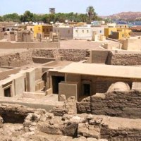
Published archaeological plans of north Saqqara are laid on the satellite imagery, geo-referenced, and the building footprints are traced into the GIS and digitized:

Image by Aria Klucewicz

Image by Aria Klucewicz

“Methods: Using a basemap given by GIS, I georeferenced 8 different maps of the necropolis. One of the maps has 1m contour lines, which I vectorized using ArcScan. I then added elevation values by hand. Several of the maps had the tomb locations outlined, although there were discrepancies in size and location. I made a best estimate to draw polygons in the tomb locations…”

About dianabuja

With a group of BaTwa (pygmy) women potters, with whom we've worked to enhance production and sales of their wonderful pots - fantastic for cooking and serving. To see the 2 blogs on this work enter 'batwa pots' into the search engine located just above this picture. Blog entries throughout this site are about Africa, as well as about the Middle East and life in general - reflecting over 35 years of work and research in Africa and the Middle East – Come and join me!
This entry was posted in Egypt-Ancient and tagged , , . Bookmark the permalink.

2 Responses to Final Project: The Early Dynastic Mastabas at Saqqara – A Spatial Analysis

  1. ritaroberts says:

    Interesting post Diana, Thank you. I just love Egyptian history. !!

    Like

  2. ergamenis says:

    Thanks for sharing!

    Like

Leave a comment